Subdivision, DA & Building Surveyor in New South Wales
- Over 25 Years of Industry Experience
- Registered Land Surveyors Servicing All of NSW
- Cutting-Edge Technology, Including Drone Surveys
- Accuracy, Efficiency, and Compliance in Every Project
Contact Us

Urban Subdivisions, Rural Subdivisions & Cadastral Plans
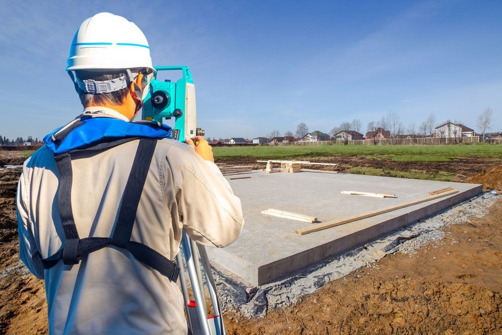
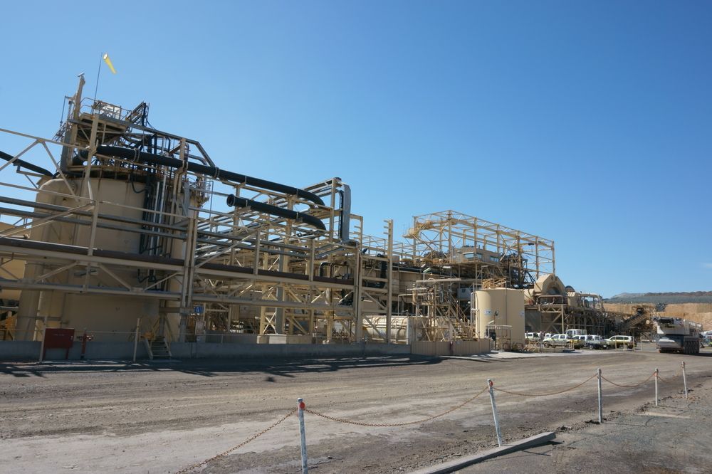
Urban subdivision is a meticulous process that requires a registered surveyor to create a precise subdivision, adhering to the stipulations of Land & Property Information NSW. This ensures the smooth registration of the plan, facilitating the issuance of a new title certificate. At Arête Survey Solutions, our surveyors offer expert guidance in various aspects, such as:
- Executing subdivisions ranging from straightforward two-lot developments to complex, large-scale projects
- Generating plans for consolidation
- Conducting easement surveys
- Processing real property applications
- Performing boundary marking
- Crafting draft 88B instruments
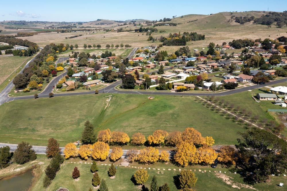
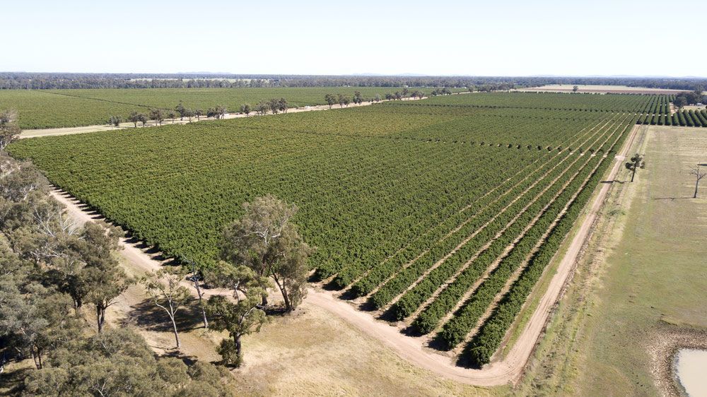
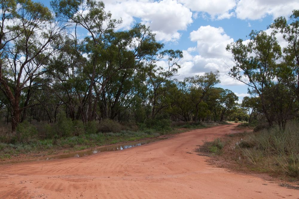
Rural Subdivision
Rural subdivisions require the development of survey plans by a certified surveyor to form new rural parcels. Our team boasts a wealth of experience in this domain—our expertise extends to subdividing rural properties, decommissioning surplus roads and managing real property applications, including creek boundary redefinitions.
Cadastral Plans
We prepare a comprehensive array of cadastral plans for various requirements, including:
- Consolidation plans to amalgamate multiple lots into a single allotment
- Primary application surveys for the conversion of Old System Titles to Torrens Titles
- Redefinition surveys to reassess the boundaries of older allotments
- Drafting of road opening and closure plans
- Completing lease surveys
- Carrying out detailed easement surveys
Strata & Community Title
Arête Survey Solutions provides comprehensive expertise in strata and community title surveying. Strata titles involve dividing a property or building into individual lots, each with distinct ownership rights. Our services encompass the legal and technical aspects required for creating, registering and managing these titles. We ensure the accurate demarcation of boundaries, common property and any related documentation, providing clarity and transparency for property owners within a strata or community scheme.
Redefinition, Consolidation & Acquisition Plans
Our experienced team excels in redefinition, consolidation and acquisition plans, facilitating property transformations and land development. Whether you are merging multiple land parcels, redefining existing boundaries or acquiring new properties, we offer precise surveying services. Our plans are essential for legal compliance and land use approval, ensuring a smooth transition for property owners and developers.
State of Environmental Effects (SEE)
Arête Survey Solutions is committed to sustainable and responsible development. We specialise in conducting State of Environmental Effects (SEE) assessments, which are vital in evaluating the environmental impact of proposed projects. Our SEE reports offer a comprehensive analysis of the potential effects on the natural environment, cultural heritage and local communities. This information aids in informed decision-making, compliance with regulations and the development of sustainable practices.
Protection of Survey Infrastructure (POSI) Plans & Management
POSI plans and management are essential components of ensuring the longevity and integrity of survey infrastructure. Arête Survey Solutions offers specialised services in creating POSI plans and managing the protection of survey infrastructure. We work to safeguard survey markers, benchmarks and other critical elements of geospatial and land surveying. Our proactive approach helps prevent damage, loss or unauthorised alteration of these crucial assets, preserving the accuracy and reliability of survey data.