Contour, Detail & Land Surveyor in New South Wales
- Over 25 Years of Industry Experience
- Registered Land Surveyors Servicing All of NSW
- Cutting-Edge Technology, Including Drone Surveys
- Accuracy, Efficiency, and Compliance in Every Project
Contact Us
Spot Level & Contour Surveys For Planning & Development
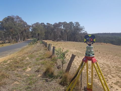
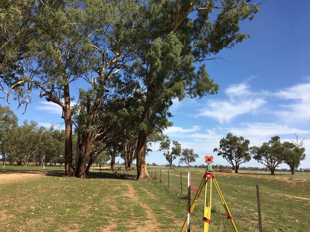
Spot level and contour surveys are at the heart of understanding the terrain and features of a site. Arête Survey Solutions employs advanced surveying techniques to capture detailed spot levels, contours and topographic information. Our surveys reveal the
elevation variations, natural features and man-made elements on a site. This data is crucial for architects, engineers and developers to make informed decisions regarding design, drainage and construction.
For Planning & Development
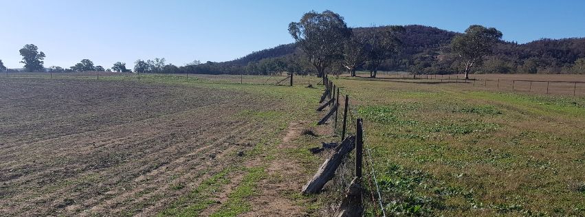
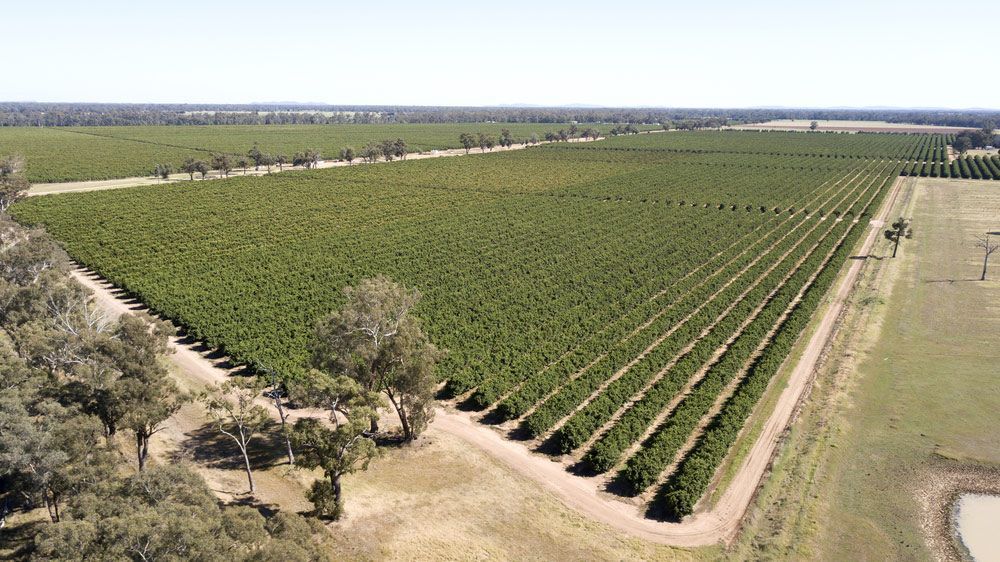
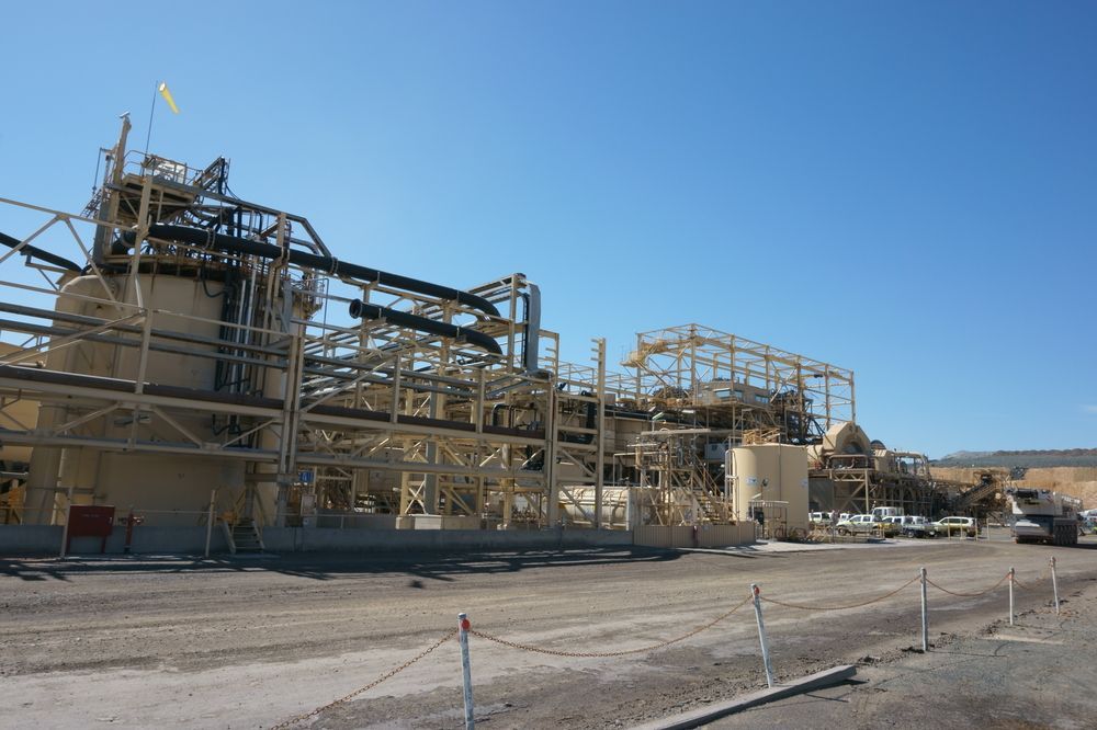
Contour and detail surveys are essential for planning and development across various sectors, including urban planning, infrastructure development and land use analysis. Arête Survey Solutions provides accurate and up-to-date information, aiding in the creation of designs that are both functional and environmentally responsible. Whether you're developing a residential subdivision, designing a new commercial space or embarking on a public works project, our surveys offer the foundation for success.
Connection to AHD
A critical aspect of our contour and detail surveys is their connection to the Australian Height Datum (AHD), a standardised vertical reference point for height measurements in Australia. This connection ensures all elevation data is consistent and can be effectively integrated with other surveys and national datasets.
AHD connection enhances the precision and reliability of our survey results, making them essential for projects that require AHD compatibility, such as flood risk assessments, engineering designs and infrastructure planning.
For more information, get in touch with Arete Survey Solutions on (02) 6344 1558.