Book a Boundary & Cadastral Survey in New South Wales
- Over 25 Years of Industry Experience
- Registered Land Surveyors Servicing All of NSW
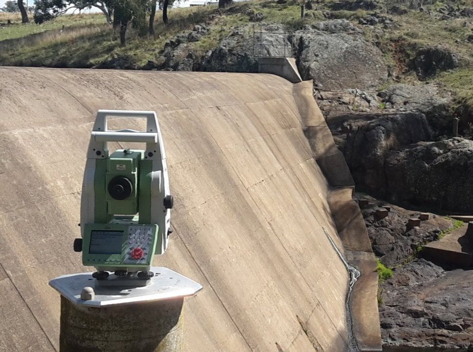
- Cutting-Edge Technology, Including Drone Surveys
- Accuracy, Efficiency, and Compliance in Every Project
Contact Us
Boundary Marking & House Set-Out
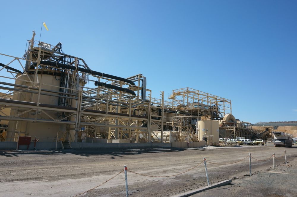
When it comes to cadastral surveying, several different types serve different purposes. Some common types include boundary surveys,
subdivision surveys,
topographic surveys and
land title surveys. Each type has its own specific focus and requirements, but they all play a crucial role in establishing and maintaining accurate land records and property boundaries. Cadastral surveying is an important field that helps ensure the integrity and reliability of land ownership and property rights.
Boundary Marking
Arête Survey Solutions offers boundary marking services to resolve issues, such as fencing placement or neighbour disagreements. We ensure your property boundaries are accurately marked on the ground, supplemented with a sketch plan that delineates the boundaries and includes offset measurements from adjacent landmarks.
House Set Out
Our house set-out service interprets and implements architectural designs into the physical landscape. We use Land Titles Office plans to calculate precise boundary locations, marking the ground as a construction guide for builders. This process includes establishing reference points for the construction of foundations and walls, as well as transferring datum levels close to the construction site. We also offer a follow-up visit to mark wall positions on the set foundations, ensuring alignment with the initial plan.
Identification/Check Surveys
This service is integral to the land transfer and sale process, providing an identification survey and corresponding report. It involves verifying boundary surveys both during and post-construction to meet the criteria set by the approval authorities, ensuring all land transactions are backed by accurate and validated information.
Re-Definition & Consolidation Surveys
A re-definition and consolidation survey is highly advisable for properties slated for redevelopment, especially those in older areas where boundary lines may be unclear or for properties under old system titles. This service results in a contemporary survey plan registered with the land titles office, safeguarding your investment by clarifying and updating property boundaries.
Easement Surveys
Easement surveys are necessary for a variety of situations, such as establishing a right of carriageway, permitting passage across your land or creating an easement for water drainage. These surveys legally define the extent and terms of easements to ensure clarity and prevent future disputes.